 |
|||||||||||||||||||
 |
|||||||||||||||||||
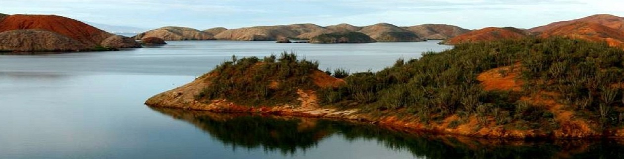
Also called the Antilles Sea, it has an area of 1019310 M2, under a tropical climate permanently cooled by the trade winds, the tranquility of the palm trees on the shores of its beaches, the diversity of multicolored life under the crystalline waters of the underwater world are the gateway to the expected paradise of its visitors. Caribbean Sea, mixture of races, cradle of its own culture.
A general view of the seabed can give us an image of its varied topography, between pits, underwater plains, low, narrow and much more. Interactive map, move it by hand!
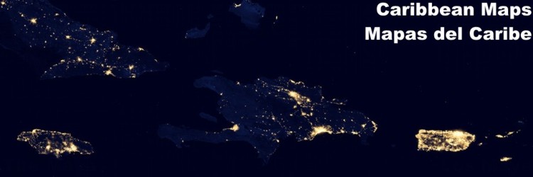
Venezuela has a territorial sea in the Caribbean of 216217 M2; and 2315 M of coastline and numerous islands in the Lesser Antilles.a wide coastline in the northern section of the Caribbean Sea, north of South America. A whole country mainly developed around its coastal zone, which for five hundred years has been an important part of the history that has developed on the shores of this sea.
|
| ||||||||||||||||||