 |
||||||||||||||||||
 |
||||||||||||||||||
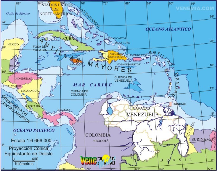
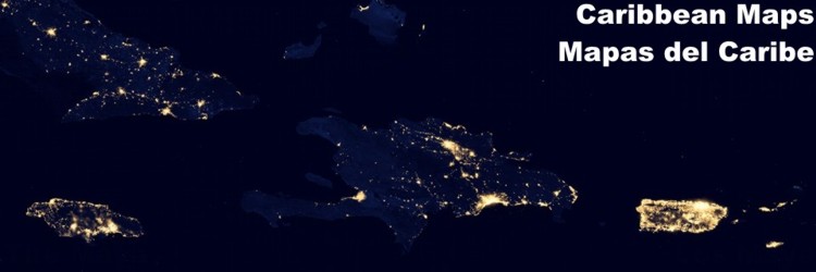
The Caribbean Sea, also known as the Sea of the Antilles and West Indies, is located between North and South America. Bordered by mainland on two sides and the other two by the Atlantic Ocean and Gulf of Mexico, from which is separated by a chain of islands that give the tranquility of an inland sea waters. This small sea of tropical waters has been and remains the scene of a continuous cultural, racial, social, natural, economic and political transformation. The Bolivarian Republic of Venezuela has had its history in the development that always occurs in the Caribbean Sea, so loved by all those who live with it. Click on the map to see enlargement!
|
| |||||||||||||||||